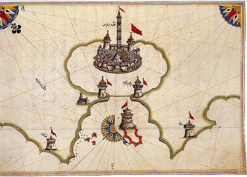
Piri Reis was a 16th century Ottoman Admiral famous for his maps and charts collected in his Kitab-ı Bahriye (Book of Navigation), a book which contains detailed information on navigation as well as extremely accurate charts describing the important ports and cities of the Mediterranean Sea. In 1513 he produced his first world map, based on some 20 older maps and charts which he had collected, including charts personally designed by Christopher Columbus which his uncle Kemal Reis obtained in 1501 after capturing seven Spanish ships off the coast of Valencia in Spain with several of Columbus’ crewmen on board. See more here.

Alexandria

Ancona
Brindisi
Sardinia

Granada

Marseilles

Marmaris

Venice
Operation Doorstep | The Spirit Photographs of William Hope | The Maps of Piri Reis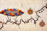 | Dr Julius Neubronner's Miniature Pigeon Camera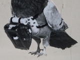 |
Art in Art | Huexotzinco Codex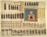 | Sessions for the Blind at Sunderland Museum |